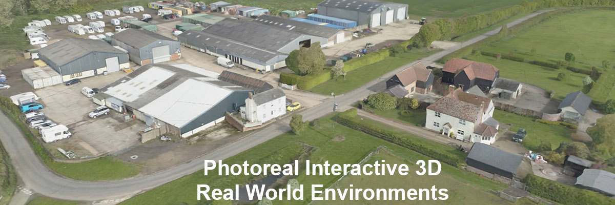
Welcome to 3D Site Maps, the place for photo realistic, real world mapping of actual land and sites across the world. The maps are fully interactive and can be navigated virtually in real-time; you can additionally view annotations and extra details.
Each registered user has their own private dashboard where they can view all their 3d interactive site maps.
Please use the login fields to access your private dashboard